

ISBN-13: 9789819985678 / Angielski
ISBN-13: 9789819985678 / Angielski
Chapter 1: Analyzing the Potential Application of Low-cost Digital Image Correlation in Direct Shear Test.- Chapter 2: Applications of GIS in Estimating the Probable Maximum Earthquake Magnitude for Amaravati Region, Andhra Pradesh, India.- Chapter 3: Assessing the Effect of Land Use Land Cover Change on the Water Quality Index of a River Basin Using GIS and Remote Sensing Techniques.- Chapter 4: Assessment of Fluctuations in Pre-Monsoon and Post-Monsoon Ground Water Levels in Kurukshetra, Haryana.- Chapter 5: Assessment of Land Use - Land Cover Changes in District Dehradun (1991-2021).- Chapter 6: Comparison of streamflow simulations for different DEMs.- Chapter 7: Comprehensive Analysis of Impact of COVID-19 Lockdown on Air Quality in Andhra Pradesh, India.- Chapter 8: Development of Mobile Application for Assessing Urban Heat Island (UHI) using Geospatial Techniques a case study of Chennai City.- Chapter 9: Drones as an Alternate Communication System During Natural Calamities.- Chapter 10: Drought Analysis of an Area using Google Earth Engine. etc.
Dr. Shashi Mesapam is currently an Associate Professor at the Department of Civil Engineering, National Institute of Technology Warangal, India. He obtained his B.Tech. (Civil) from Osmania University, Hyderabad, and M.Tech. (Remote Sensing and Photogrammetric Engineering) and Ph.D. from the Indian Institute of Technology, Roorkee. His major areas of research interests include Photogrammetry, Unmanned Aerial Vehicles (UAV) and its Applications, Digital Image Processing, Remote Sensing, Advanced Surveying. He has published 26 papers in reputed international journals and 4 book chapters in reputed publications.
Dr. Anurag Ohri is currently an Associate Professor at the Department of Civil Engineering, Indian Institute of Technology (Banaras Hindu University), Varanasi, India. He obtained his B.Tech. (Civil) from Regional Engineering College, Kurukshetra, and M.Tech. (Remote Sensing and Photogrammetric Engineering) from the Indian Institute of Technology, Roorkee and Ph.D. from the Indian Institute of Technology (Banaras Hindu University). His major areas of research interests include Mapping, Development of GIS based Decision support systems, GIS application in Smart Cities, Land use planning. He has published 34 papers in reputed international journals and 3 book chapters in reputed publications.
Prof. Venkat Sridhar, P.E. is currently an Associate Professor at the Biological Systems Engineering in Virginia Tech, Blacksburg, USA. He obtained his B.E. in Agricultural Engineering from Tamil Nadu Agricultural University, India and M.Eng. in Irrigation Engineering & Management from Asian Institute of Technology, Thailand and Ph.D. from Oklahoma State University, Stillwater, Oklahoma, USA. His major areas of research interests include Global change; urban systems and sustainability; agricultural water management; water resources systems; modeling; extreme events (floods and droughts); food-energy-water nexus; developing, implementing and evaluating earth system models; new hydrologic instrumentation, sensors, drones, databases, and model applications for use by federal, state, and private stakeholders for real-time operational applications; international activities. He has published 90 papers in reputed international journals and 6 book chapters in reputed publications.
Dr. Nitin Kumar Tripathi is currently a Professor at the Asian Institute of Technology, Thailand. He obtained his B.Tech. (Civil) from National Institute of Technology, Warangal, India, and M.Tech. (Remote Sensing) and Ph.D. from the Indian Institute of Technology, Kanpur. He has published 211 papers in reputed international journals, two books and 12 book chapters in reputed publications. He is currently Editor-in-chief of International Journal of Geoinformatics and Editorial Board Member of Int. Jour. of Applied earth Observation and Geoinformation (ITC Journal), Asian J. of Geoinformatics, Indian J. of Remote Sensing and Photogrammetry, Journal of Prince of Songkhla University, West Indian Journal of Civil Engineering, International Journal of Geoinformatics, Arabian Journal for Science and Engineering, International Journal of Remote Sensing – Taylor and Francis, International Journal of Imaging, J. of Chemistry and Environment, Geojournal – Springer, Disaster Advances, Natural Hazards, International Journal of Geographical Information Science.
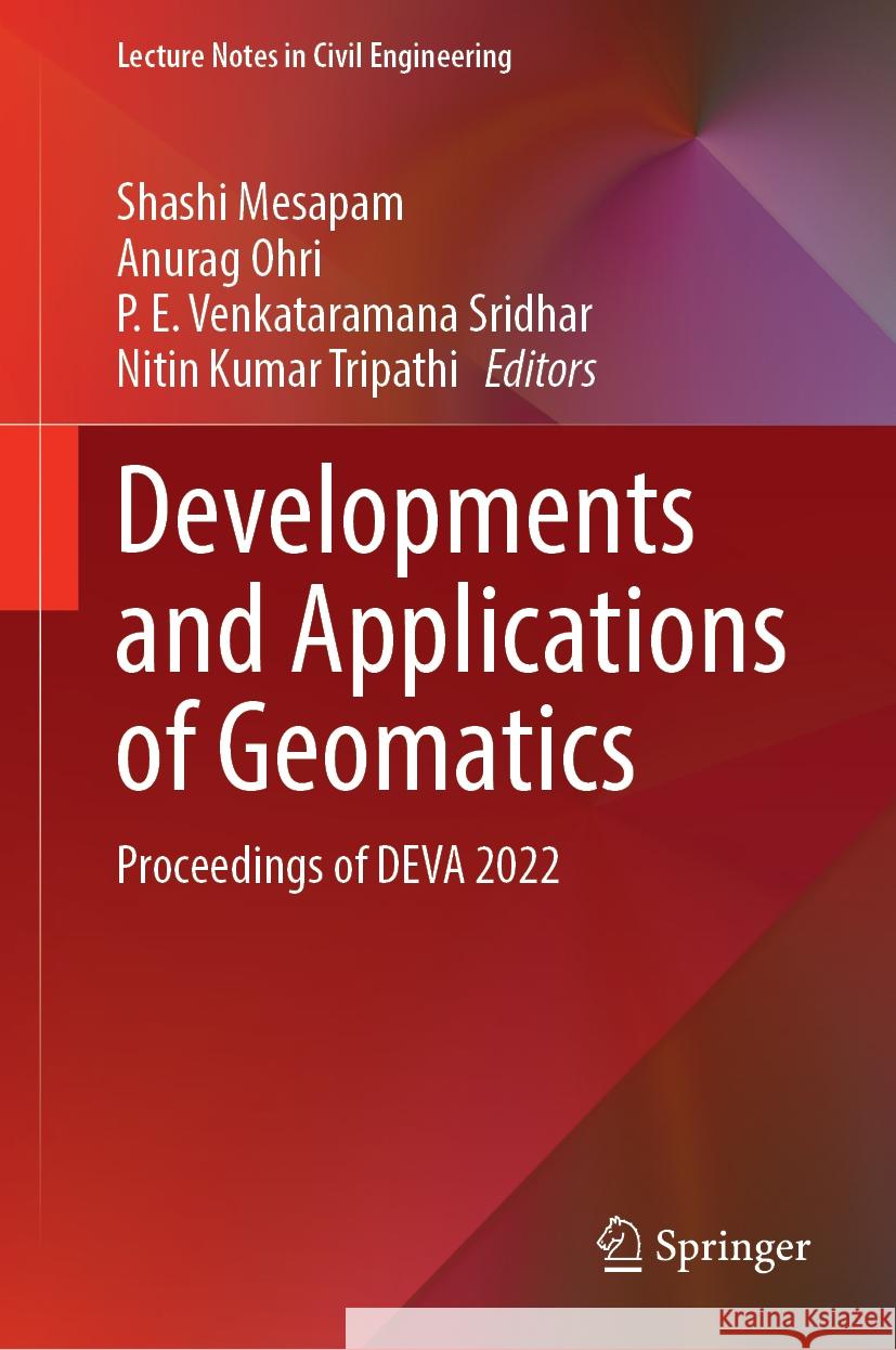
This volume presents the selected papers from the International virtual conference on Developments and Applications of Geomatics. It covers a wide range of topics of GIS applications such as agricultural studies, climate change monitoring and impacts, floods monitoring, natural disasters, environmental impact assessment, ecosystem management and sustainable development, industrial pollution, structural health monitoring, unmanned aerial vehicles, transportation planning, geological mapping, 3D modelling and web GIS applications. This book will be useful for researchers and professionals from various fields whose work includes geographic information system.
1997-2026 DolnySlask.com Agencja Internetowa


