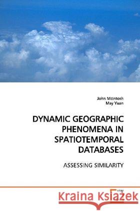
DYNAMIC GEOGRAPHIC PHENOMENA IN SPATIOTEMPORAL DATABASES : ASSESSING SIMILARITY » książka
DYNAMIC GEOGRAPHIC PHENOMENA IN SPATIOTEMPORAL DATABASES : ASSESSING SIMILARITY
ISBN-13: 9783639167405 / Angielski / Miękka / 2009 / 100 str.
The growing availability of routine observations fromsatellite imagery and other remote sensors holdsgreat promise for improved understanding of processesthat act in the landscape. However, geographers ability to effectively use such spatial data ischallenged by large data volume and limitations ofconventional data models in geographic informationsystems (GIS) which provide limited support forquerying and exploration of spatiotemporal data otherthan simple comparisons of temporally referencedsnapshots. Current GIS representations allowmeasurement of change but do not address coherentpatterns of change that reflects the working ofgeographic events and processes. The work presentedhere includes three self contained but relatedstudies: (1) development of a representationalframework that incorporates spatiotemporal propertiesof geographic phenomena, (2) development of aframework to characterize events and processes thatcan be inferred from GIS databases, and (3)development of a method to assess similarity ofevents and processes based on the temporal sequencesof spatiotemporal properties.


