Life, Leisure and Hardship Along the Buffalo » książka
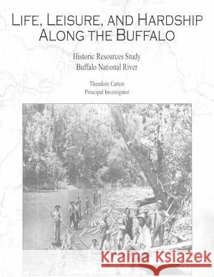
Life, Leisure and Hardship Along the Buffalo
ISBN-13: 9781511694506 / Angielski / Miękka / 2015 / 308 str.
In a region of winding rivers and streams, the Buffalo River cuts one of the most tortuous paths of all. Deeply entrenched in the Ozark plateau, looping back and forth between sheer rock bluffs and densely forested hillsides, it meanders for 50 miles across a straight-line distance of less than 60 miles, from the Boston Mountains in northwest Arkansas to its confluence with the White River in north central Arkansas. Along its course it is fed by numerous tributaries. Navigable only by skiff or canoe through most of the summer and fall, the Buffalo River runs fast and high in late winter and spring and turns into a raging torrent after a rainstorm at any time of year. In places the valley broadens out and is filled by rich alluvial soil. Buffalo National River was authorized by Congress in 1972 for the purpose of preserving this scenic river in a free-flowing condition. The boundaries of Buffalo National River hew fairly close to the river valley. Exceptions include two tributary drainages of Cecil Cove and Richland Valley and some extensive uplands on the upper and lower river that are contained in the Ponca and Lower Buffalo Wilderness Areas respectively. The land base includes about 2,000 acres that were incorporated from two former state parks and about 2,000 acres that were transferred from the adjoining Ozark National Forest in addition to some 90,000 acres of former private holdings, which includes 5,000 acres in private ownership under conservation easements. Within this spaghetti-shaped park is found an abundance of historic resources. A substantial portion are houses, barns, and other farm outbuildings, reflecting the agricultural heritage of the area. Among dozens of country churches and schools that once dotted the valley, the Erbie Church and Cold Springs School are two that survive in good condition. Approximately half of the listed structures are part of a historic district in Boxley Valley. Another large grouping is associated with the rural community of Erbie. Many historic structures are ensconced in woods and are seldom seen by park visitors. Others are highly visible and amply interpreted. Perhaps the most outstanding historic resource in the national river is the Parker-Hickman Farmstead, which dates to before the Civil War. Buffalo National River contains abundant historic resources that relate to other historic themes besides the area's agricultural heritage. The Rush Historic District includes dozens of mine and mill ruins, standing structures, and landscape elements that reflect the area's mining history. During its heyday around 1915 the area had a working population in the thousands of people; today visitors can walk an interpretive trail past ruins and a few remaining standing structures that evoke images of that earlier time. Another notable historic resource is the complex of buildings associated with the former Buffalo River State Park. These buildings were mostly built by the Civilian Conservation Corps (CCC) and the complex is a fine example of government rustic architecture and state park planning from the CCC era. Other historic resources found in the park include cemeteries, foundations, and the remains of old roads, ferry crossings, and additional mine workings. The National Park Service's List of Classified Structures (LCS), updated for Buffalo National River in 2006, lists a total of 290 historic buildings and structures. Of these, 210 are listed on the National Register of Historic Places (either individually or as contributing elements in historic districts) and 64 have been determined eligible for listing. Another four are categorized as "ineligible- managed as resource."
Zawartość książki może nie spełniać oczekiwań – reklamacje nie obejmują treści, która mogła nie być redakcyjnie ani merytorycznie opracowana.


