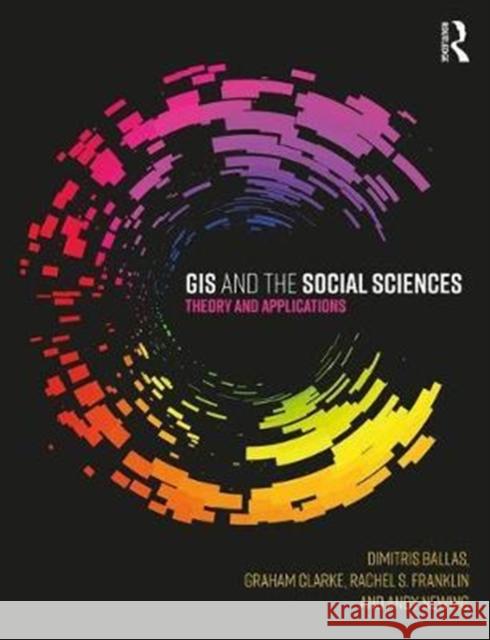
GIS and the Social Sciences: Theory and Applications » książka
GIS and the Social Sciences: Theory and Applications
ISBN-13: 9781138785120 / Angielski / Miękka / 2017 / 280 str.
GIS and the Social Sciences: Theory and Applications
ISBN-13: 9781138785120 / Angielski / Miękka / 2017 / 280 str.
(netto: 289,15 VAT: 5%)
Najniższa cena z 30 dni: 284,80
ok. 22 dni roboczych.
Darmowa dostawa!
This book explores how human geography can engage with a variety of important policy issues through linking together GIS and spatial analysis. It considers how geography can 'outreach' to the wider community and demonstrates the importance of applied GIS and spatial analysis for solving real world problems in both the public and private sector. The book is divided into two sections. The first section introduces basic theoretical material from a social science perspective. This section explores how spatial data is handled in a GIS, forms of geocoding, geoprocessing and visualisation, and ends with a discussion of basic GIS functionality - what are the standard spatial commands within GIS packages and what can they offer in terms of spatial analysis? Part B then explores the range of applications that GIS has been primarily used for in the social sciences, offering a global perspective of examples at a range of spatial scales. The book explores the use of GIS in crime, health, education, retail location, urban planning, transport, geodemographics, emergency planning and poverty/income inequalities. The text is supplemented with practical examples at the end of each chapter, and a companion website containing further examples and data sets. These will be written in both MAPINFO and ARC, to show how the user can access data and put the theory in the textbook to applied use. This book is the first to offer a social science approach to GIS techniques and applications while showing the user how to do GIS. It provides a range of modern applications of GIS with associated practicals to work through, and demonstrates how researcher and policy makers alike can use GIS to plan services more effectively. It will be of great interest to geographers, as well as the broader social sciences, such as sociology, crime science, health, business and marketing.


